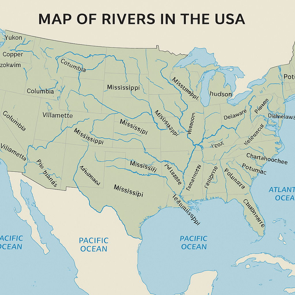
The map of rivers in the USA reveals one of the most intricate and fascinating natural networks in the world. America?s rivers are not only geographical features but also living systems that have shaped history, transportation, agriculture, and urban development. From the powerful Mississippi to the serene Hudson, every river tells a story of connection, ecology, and change.
The Mississippi River: The Artery of America
No discussion of U.S. rivers is complete without the Mississippi River. Stretching over 2,340 miles from Lake Itasca in Minnesota to the Gulf of Mexico, it is the second-longest river in North America. The Mississippi drains 32 states and supports millions of people and species. Its watershed - known as the Mississippi River Basin ? covers more than 1.2 million square miles, making it one of the largest drainage systems on Earth.
Did you know? The Mississippi River carries about 500 million tons of sediment each year, shaping new land at its delta and feeding wetlands crucial for biodiversity.
The Missouri River: America's Longest Stream
The Missouri River, a major tributary of the Mississippi, is actually the longest river in the country ? running over 2,540 miles. Rising in the Rocky Mountains of western Montana, it flows east and south through seven states before merging with the Mississippi near St. Louis. Historically, the Missouri served as a route for exploration during the Lewis and Clark Expedition, symbolizing the country?s westward expansion.
The Colorado River: Lifeblood of the Southwest
Known for carving the magnificent Grand Canyon, the Colorado River runs 1,450 miles through seven U.S. states and into Mexico. It provides water for over 40 million people and irrigates nearly 5.5 million acres of farmland. Yet, due to overuse and droughts, the river rarely reaches the sea today. It?s a crucial symbol of environmental balance in an age of climate change.
The Columbia River: The Energy Giant
Flowing from British Columbia, Canada, into the Pacific Ocean, the Columbia River stretches 1,243 miles. It?s North America?s largest hydroelectric power producer, with over 400 dams along its basin. Its ecosystem supports salmon migrations that have cultural and economic importance for Indigenous peoples and local fisheries alike.
Eastern Rivers: History and Culture
The eastern United States features rivers that played essential roles in colonial history and industrial development:
- Hudson River - flows from the Adirondack Mountains through New York to the Atlantic Ocean. It served as a major trade route and inspired the famous Hudson River School of art.
- Delaware River - site of George Washington?s famous crossing in 1776 and a vital waterway connecting Pennsylvania, New Jersey, and Delaware.
- Potomac River - passing through Washington, D.C., this river symbolizes political and environmental cooperation across state lines.
Southern Rivers: Nature and Culture Entwined
Southern rivers like the Rio Grande, Tennessee River, and Chattahoochee River play key roles in agriculture and regional identity. The Rio Grande also serves as part of the natural border between the United States and Mexico, supporting unique desert ecosystems and communities dependent on its flow.
Rivers of the Pacific Northwest
In the lush Pacific Northwest, rivers like the Snake River, Willamette River, and Puget Sound tributaries define the landscape. These rivers feed forests, nurture salmon populations, and provide recreational and economic opportunities for millions of residents in Oregon and Washington.
Rivers of Alaska
Alaska is home to some of the wildest and least disturbed rivers in the world. The Yukon River flows more than 1,980 miles through Alaska into the Bering Sea, remaining one of the longest and most pristine river systems in North America. Other notable rivers include the Kuskokwim and Copper River, both vital to salmon fisheries and Indigenous cultures.
Rivers of the Great Plains
The Arkansas River, Platte River, and Kansas River cut through vast prairies and farmland. These rivers have been essential to irrigation and agriculture, though many have faced challenges from damming, pollution, and overuse. Restoration projects across the Plains aim to restore natural flow and habitat for migratory birds.
Environmental Significance of U.S. Rivers
Rivers serve as habitats, transport corridors, and water sources for cities and farms. Unfortunately, industrial waste, agricultural runoff, and climate-related droughts threaten many of them. Organizations like Woodbridge River Watch play a crucial role in protecting local waterways through conservation efforts and community education.
Protecting America?s rivers means protecting our future. Every clean stream contributes to healthy ecosystems, safe drinking water, and thriving communities.
Interactive Learning: Using the Map of Rivers in the USA
Modern tools like interactive GIS maps allow students, scientists, and citizens to explore the hydrological network of the United States in real time. The map of rivers in the USA helps identify watersheds, river sources, and tributaries ? fostering awareness of how interconnected our environment truly is. Whether you are planning a research project or simply love geography, river maps reveal the invisible lines that sustain our planet.
Conclusion: The Flow That Connects Us All
From Alaska's glaciers to Florida?s wetlands, the map of rivers in the USA tells a story of endurance, movement, and transformation. These waterways are not just features on a map - they are dynamic systems that support every part of American life. Preserving them requires both national policies and local engagement. Through education, restoration, and respect, we can ensure that the lifeblood of America continues to flow for generations to come.